Climate and Landforms
Climate
The average climate in Arkansas varies a lot because they have four seasons. The temperature ranges from 85 degrees Fahrenheit in the summer to 30 degrees Fahrenheit in the winter. They have up to 49.57 inches of rain a year. They get up to 4 inches of snow a year. The storms in Arkansas are tornadoes and thunderstorms.
The average climate in Arkansas varies a lot because they have four seasons. The temperature ranges from 85 degrees Fahrenheit in the summer to 30 degrees Fahrenheit in the winter. They have up to 49.57 inches of rain a year. They get up to 4 inches of snow a year. The storms in Arkansas are tornadoes and thunderstorms.
|
|
Landforms
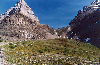
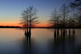
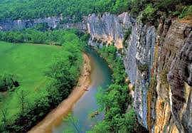
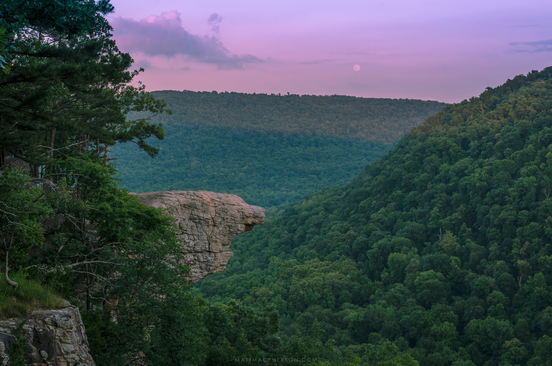
The Mississippi River forms most of the eastern side of Arkansas. Arkansas is made up of five regions. The Ozark Mountains are in the northwest and are made up of forests, plateaus, and deep valleys. The Arkansas River Valley is south of the Ozarks and has the highest point and largest river in the state. The Ouachita Mountains are in western and central Arkansas and have parallel ridges, valleys, and Hot Springs, the smallest national park in the United States. The West Gulf Coastal Plain is in the south and southwest and is a lowland with pine forests and farms. The Mississippi Alluvial Plain, also called the Delta, is fertile lowland that runs north to south along the Mississippi River. |